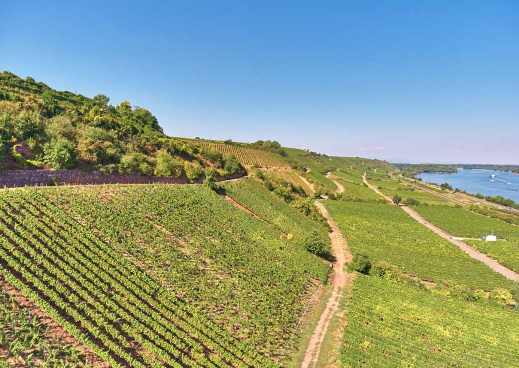
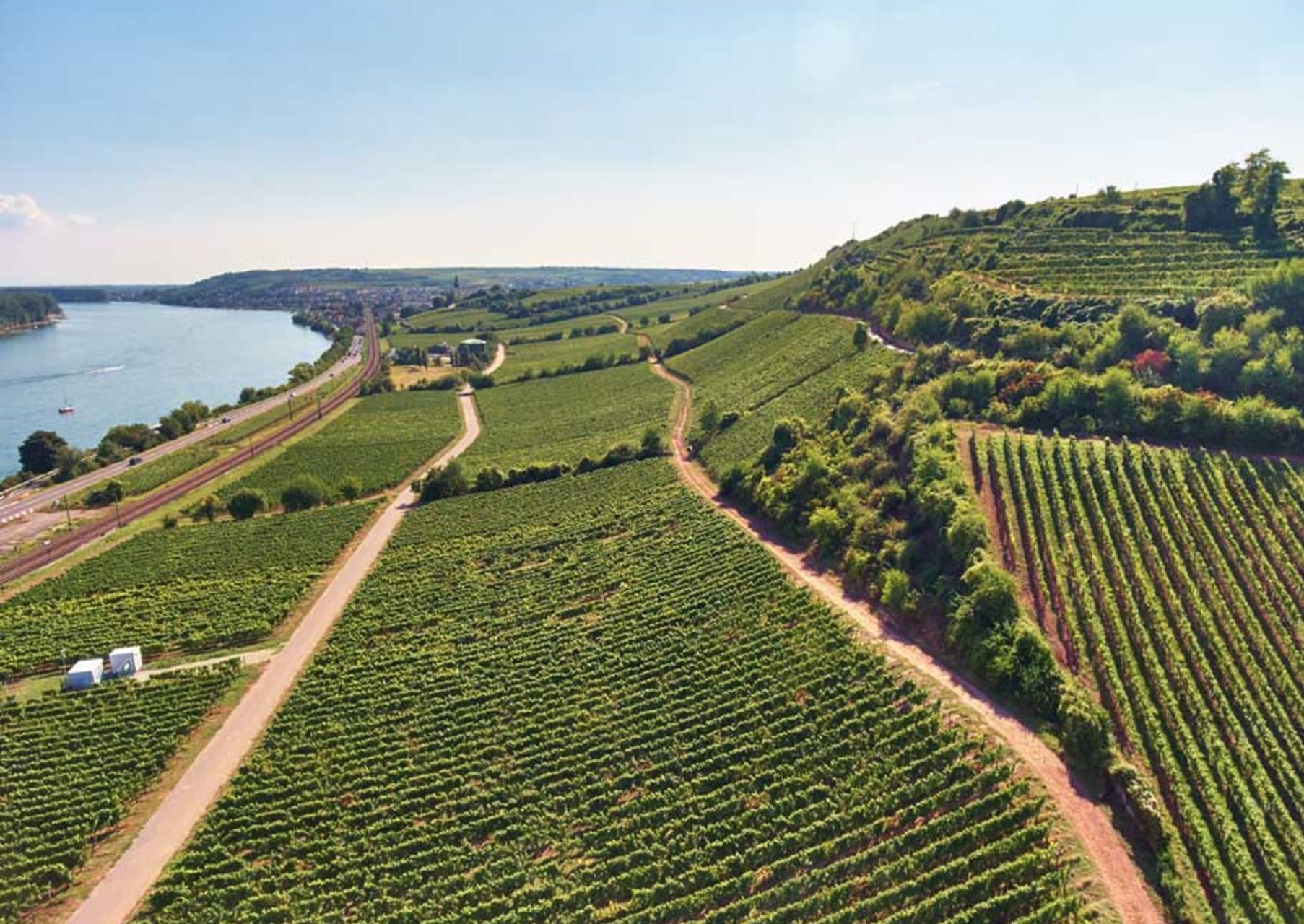
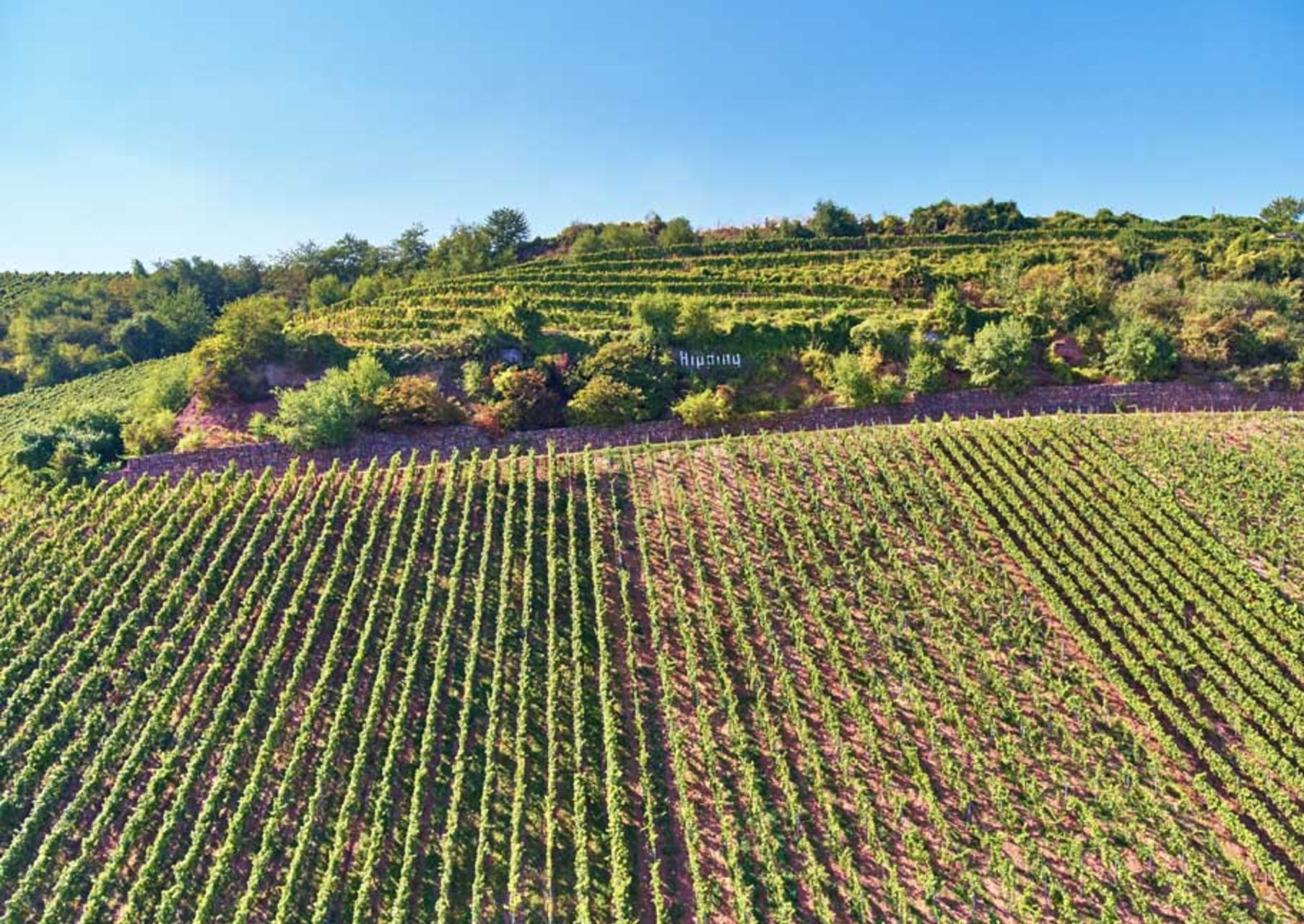
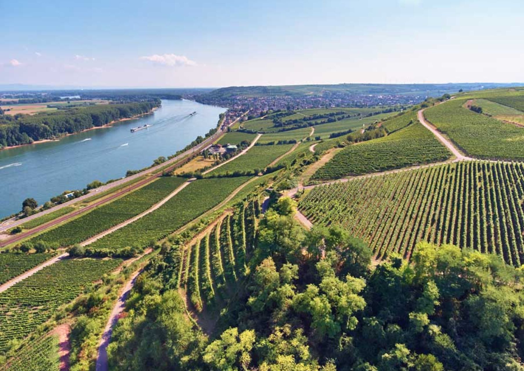
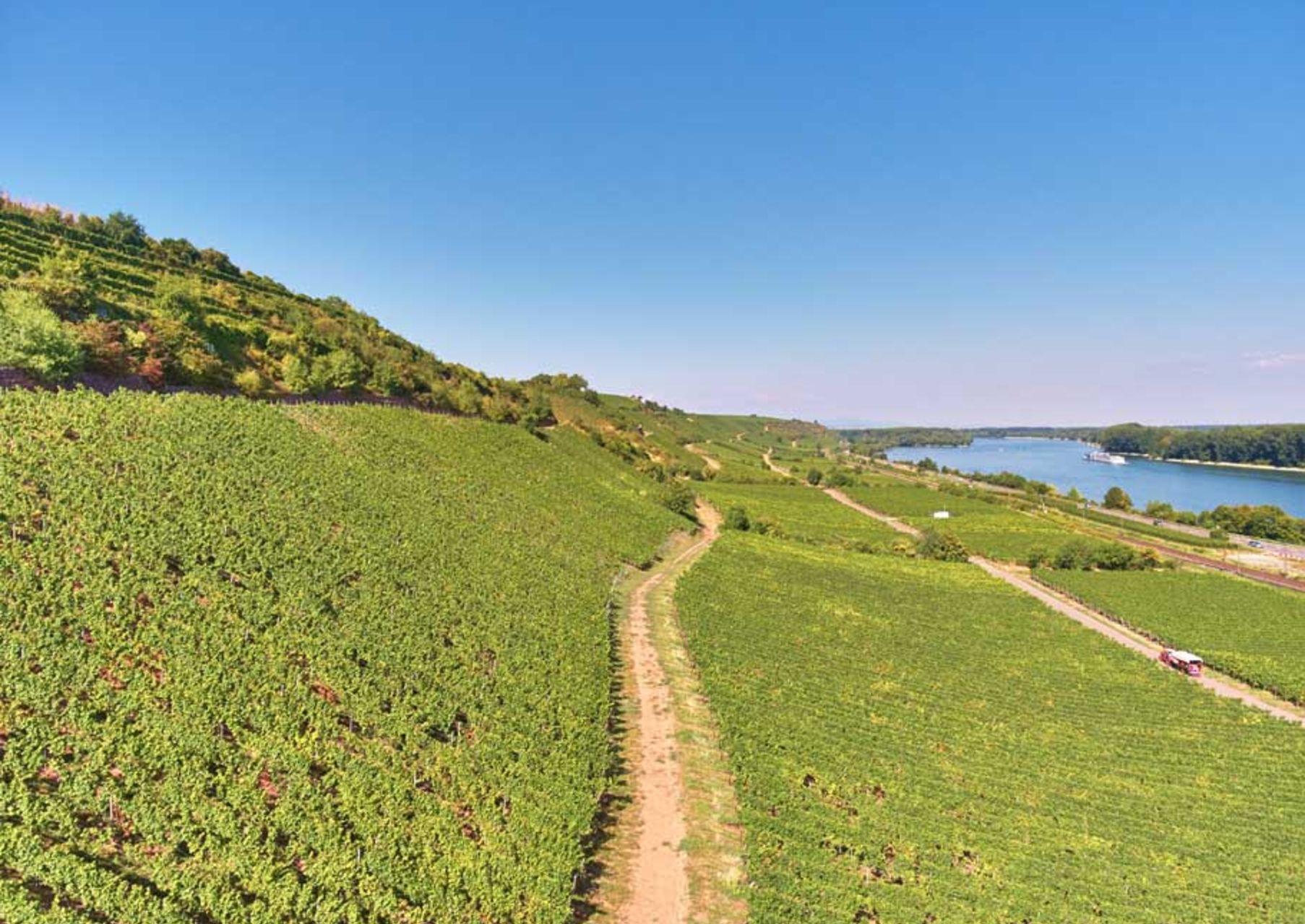
The VDP.GROSSE LAGE® HIPPING is located on an exposed section of the Roter Hang between Nierstein and Nackenheim at an altitude of 80 - 174 metres a.s.l. The steep site has a 60 to 120 percent slope that descends towards the Rhine (which is quite wide in this section) with a southeast exposition. The VDP.GROSSE LAGE® is located in the upper approximately eighthectares of Rotliegendes (red weathered clayey slate). The lake-like broadening of the Rhine, the intense morning sun, and the highly weathered red slate strongly influence the microclimate. Predominantly Riesling grows in the HIPPING GL.
History: The HIPPING was called “Hupbuhl” in 1550. It is assumed that this was a hill where goats grazed as “Hippe” means goat in Middle High German and “Buhl” is a hill.

