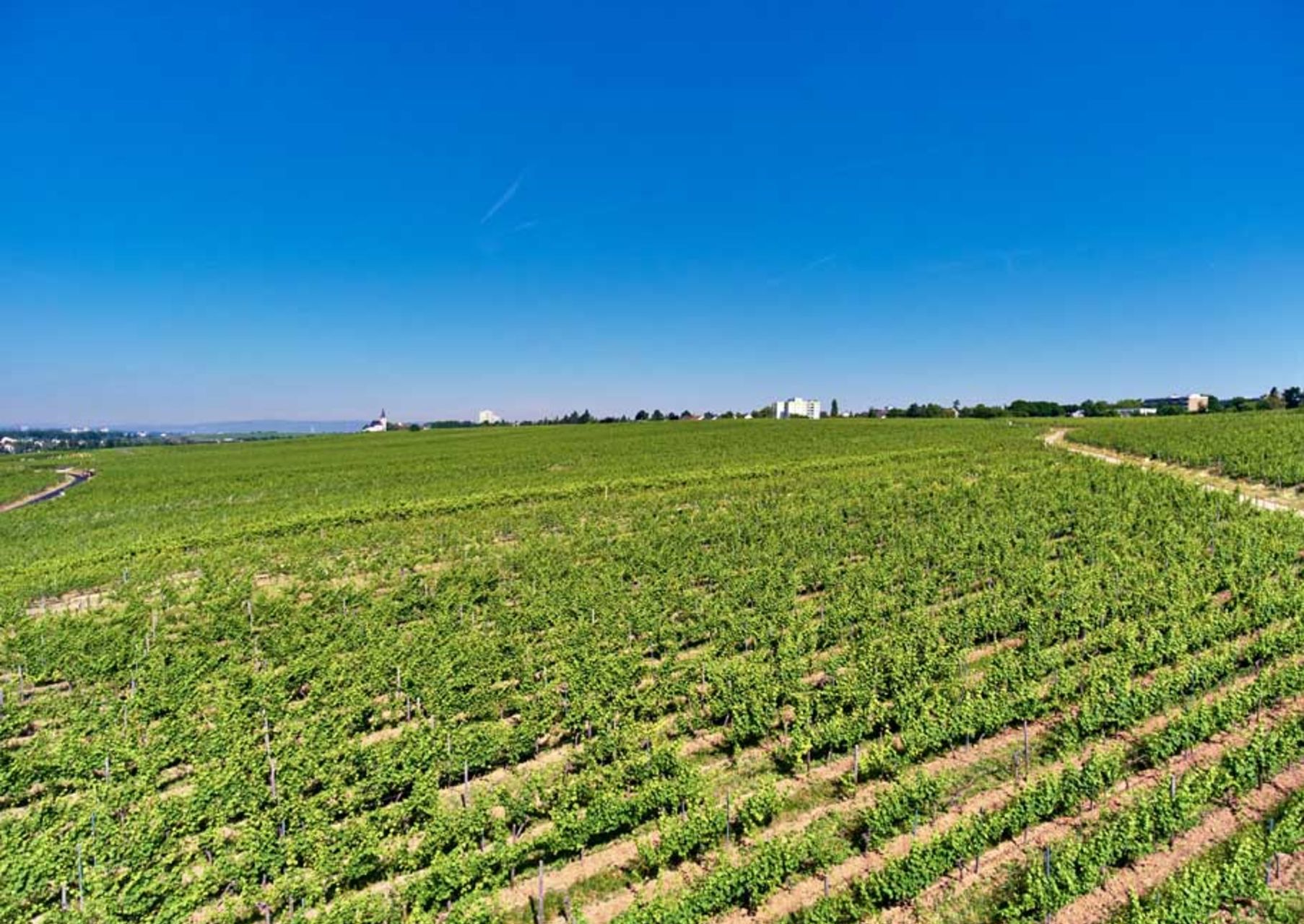
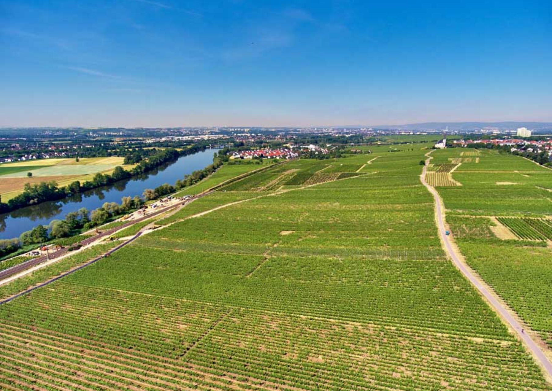
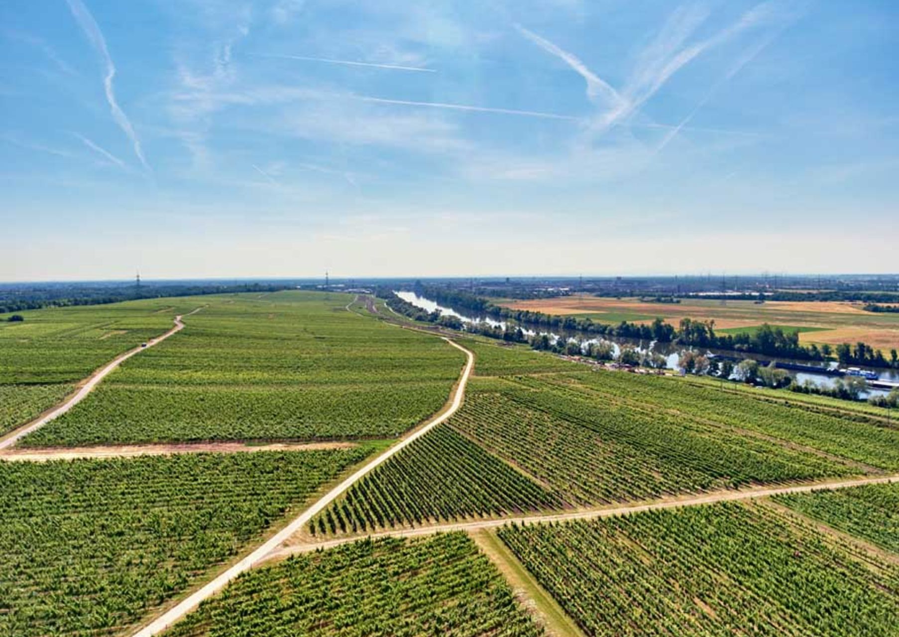
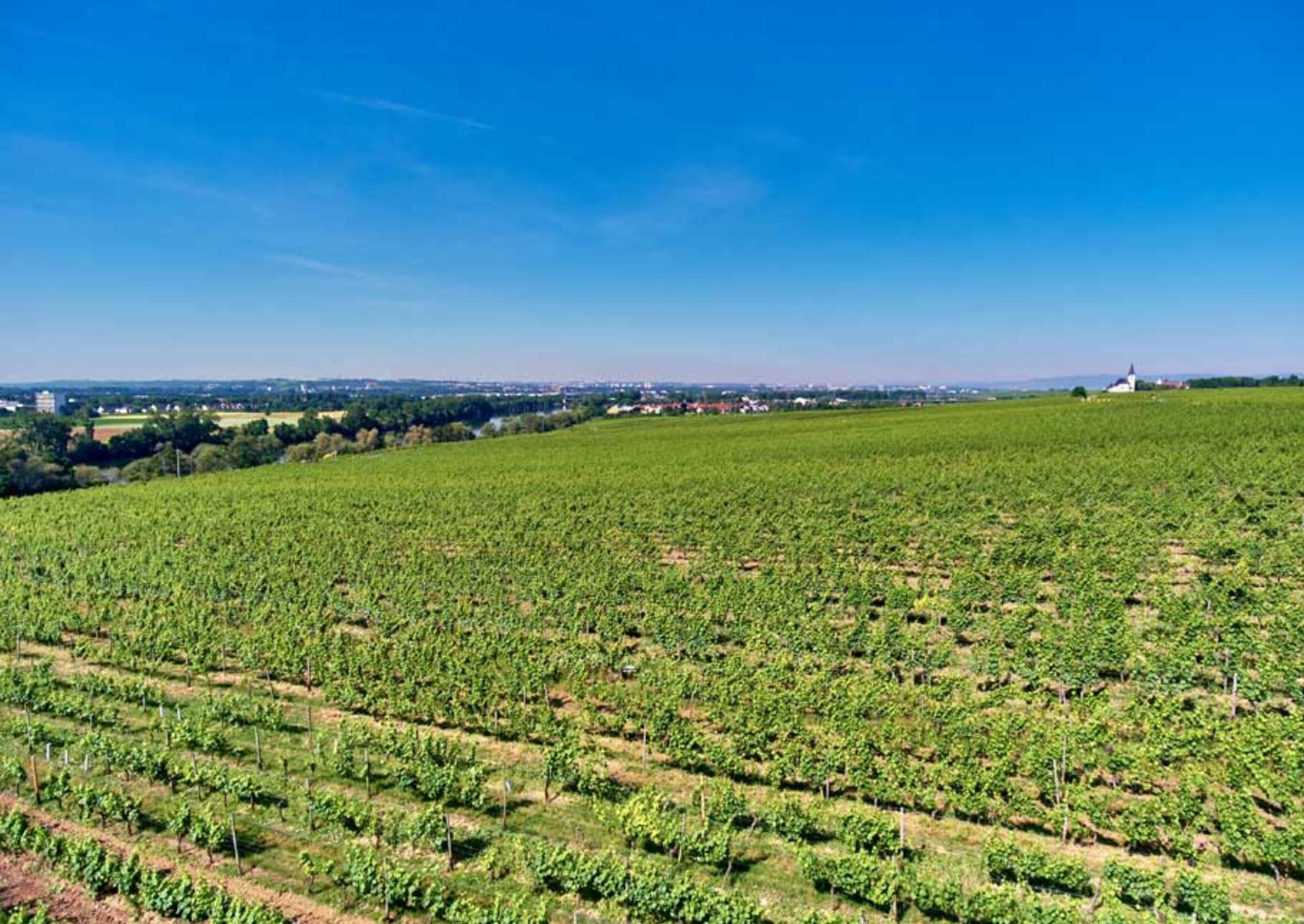
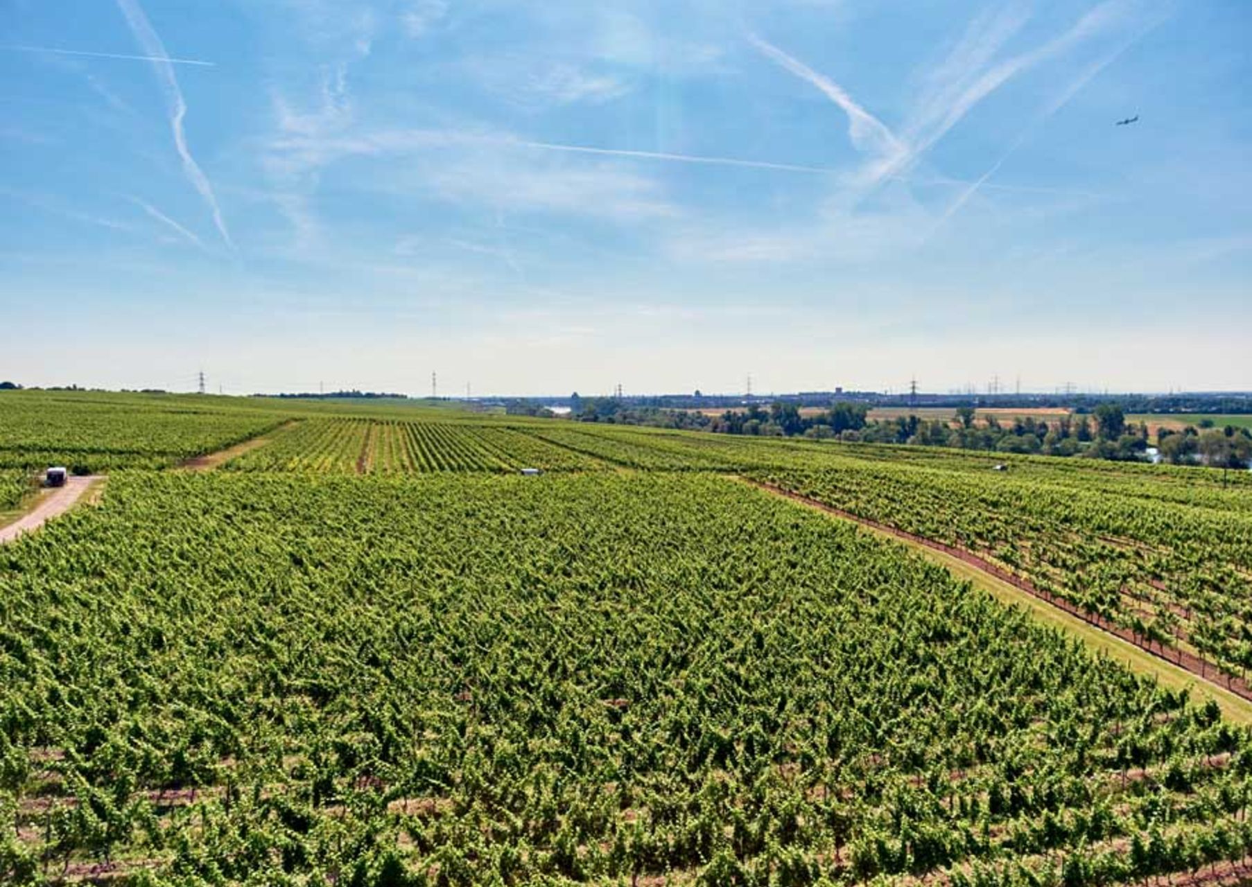
The VDP. GROSSE LAGE® HÖLLE stretches southward down to the Main River. The upper part of the 36-hectare vineyard is steep with up to 32 percent gradient and gradually flattens to 6 percent toward the bank of the river. The GL HÖLLE lies at 90 to 110 meters a.s.l. The Taunus Mountains influence the site’s climate by protecting it from wind and rain. The heavy loess, loess loam, and clay marl soils store warmth and moderate the temperature fluctuations between day and night. Sandy-pebbly soil portions from the Main terraces are also interspersed. The GL HÖLLE has a unique source of water because aquifers that bring water from the Taunus Mountains come to the surface here. Riesling is the main variety.
History: Hochheim (including the Hölle vineyard) were the property of the Cologne Cathedral Chapter up into the 13th century. Cologne sold Hochheim with its “people and land” to the Mainz Cathedral Chapter in 1273.